Zambia Electrification Map
This tool was developed to support private and public actors in Zambia to quickly and accurately prioritize villages by their potential for off-grid electrification, based on information such as population density, distance to grid, solar resource and others.

This work is licensed under a Creative Commons Attribution-ShareAlike 4.0 International License.
Layers
Select Basemap Layer
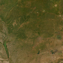
Aerial Images (Esri)

OpenStreetMap

OpenTopoMap
Select Overlay Information

Power line

Farm Block

Tourist Site
Yearly Average in kWh/m²

<= 5.6

5.6 - 5.7

5.7 - 5.8

5.8 - 5.9

5.9 - 6.0

6.0 -6.1

>= 6.1
Filters
Use the tools below to filter settlements and clusters based on their area, mobile coverage, distance to grid and buildings.
Mobile Coverage
Surveyed
Buildings
Building Density (buildings/km²)
Distance to Grid (m)
Area (km²)
Download
You may download the data behind this map:
Cluster points with metadata ⇩download.
Cluster shapes with metadata ⇩download.
Border shapes (⇩download) and grid lines (⇩download) were taken from OpenStreetMap and are licensed under the Open Database License.
Solar resource data obtained from the Global Solar Atlas, owned by the World Bank Group and provided by Solargis. Raster data for the solar irradiation layer specificly were taken from ↪here. Their Data are made available for reuse under CC-BY-license. A copyright notice is available ↪here.
This work is licensed under a Creative Commons Attribution-ShareAlike 4.0 International License.
About the map
The source code for this web map can be found here.
This work is licensed under a Creative Commons Attribution-ShareAlike 4.0 International License.
An short overview of the web-map development is provided here.